
Spring in Colorado is often called “Mud Season,” and it’s not my favorite time to hike. By May, I’m tired of snow, but the mountains are still packed with it, making hiking difficult and messy. Trying to hike in the snow during spring can be more of a struggle than fun.
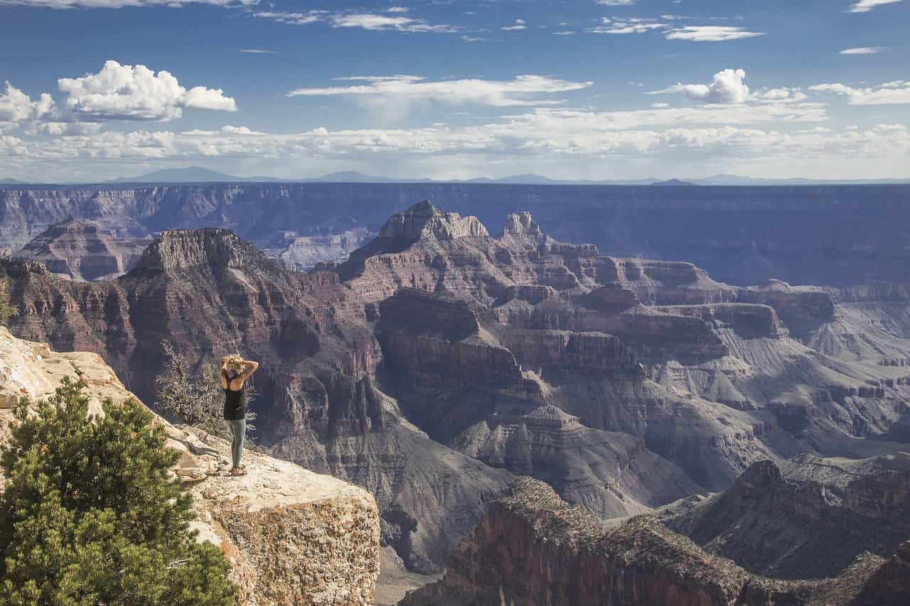
But spring does have a bright side—Denver’s foothills look amazing this time of year! The grass is green, the weather is warm but not too hot, and the trails are dry.
If you’re looking for some fun, easy spring hikes in Colorado’s Front Range before the snow melts in the mountains, these five trails are perfect for you! Get outside and enjoy the beauty of spring with these great options.
1. Carpenter Peak Trail
Trail Map
Location: Roxborough State Park
Distance: 6.4 miles (out and back)
Elevation Gain: 1,100 feet
Difficulty: Moderate
Carpenter Peak Trail is a fantastic hike if you want to see the famous red rocks of the Front Range and take in amazing views of Denver and the nearby plains. In spring, the trail becomes colorful with wildflowers, and the red rocks stand out against the bright green plants. It’s a good workout with a steady climb, but not too hard, and you’ll be rewarded with sweeping views when you reach the top.
2. Waterton Canyon Trail
Trail Map
Location: Littleton
Distance: 12.4 miles (out and back)
Elevation Gain: 730 feet
Difficulty: Easy
Waterton Canyon is a great trail for spring, especially if you’re looking for an easy and fun hike with a chance to see wildlife. This wide path follows the South Platte River, making it perfect for families or beginners. You might even spot bighorn sheep along the way! The trail is long, but you can turn around whenever you like, making it a great choice for a relaxed hike.
3. Mount Sanitas
Trail Map
Location: Boulder
Distance: 3.3 miles (loop)
Elevation Gain: 1,343 feet
Difficulty: Moderate to Strenuous
If you’re up for a challenging hike, try Mount Sanitas in Boulder. It’s steep and rocky, which makes it exciting if you enjoy tough hikes. As you climb, you’ll get awesome views of the foothills and the city of Boulder. Spring is the perfect time to tackle this trail because the cooler weather makes the tough climb more comfortable.
4. Dawson Butte
Trail Map
Location: Castle Rock
Distance: 5 miles (loop)
Elevation Gain: 500 feet
Difficulty: Easy to Moderate
For a peaceful hike, check out the Dawson Butte Trail. It’s a quiet, hidden gem where you can enjoy springtime beauty. The trail loops through open meadows, forests, and rocky areas. Wildflowers bloom in the spring, and you can smell the fresh pine trees. This hike is easy for most people, and it’s a great way to enjoy nature without the crowds.
5. Red Rock Canyon
Trail Map
Location: Colorado Springs
Distance: 5 miles (varies by route)
Elevation Gain: 1,000 feet
Difficulty: Easy to Moderate
Finally, Red Rock Canyon Open Space is another cool spot with amazing red sandstone cliffs and towering rock formations. There are lots of trails to choose from, so you can pick one that fits your energy level. It’s like a smaller version of Garden of the Gods but with fewer people. In spring, the area bursts with flowers and wildlife, making it a perfect place for a peaceful spring adventure.