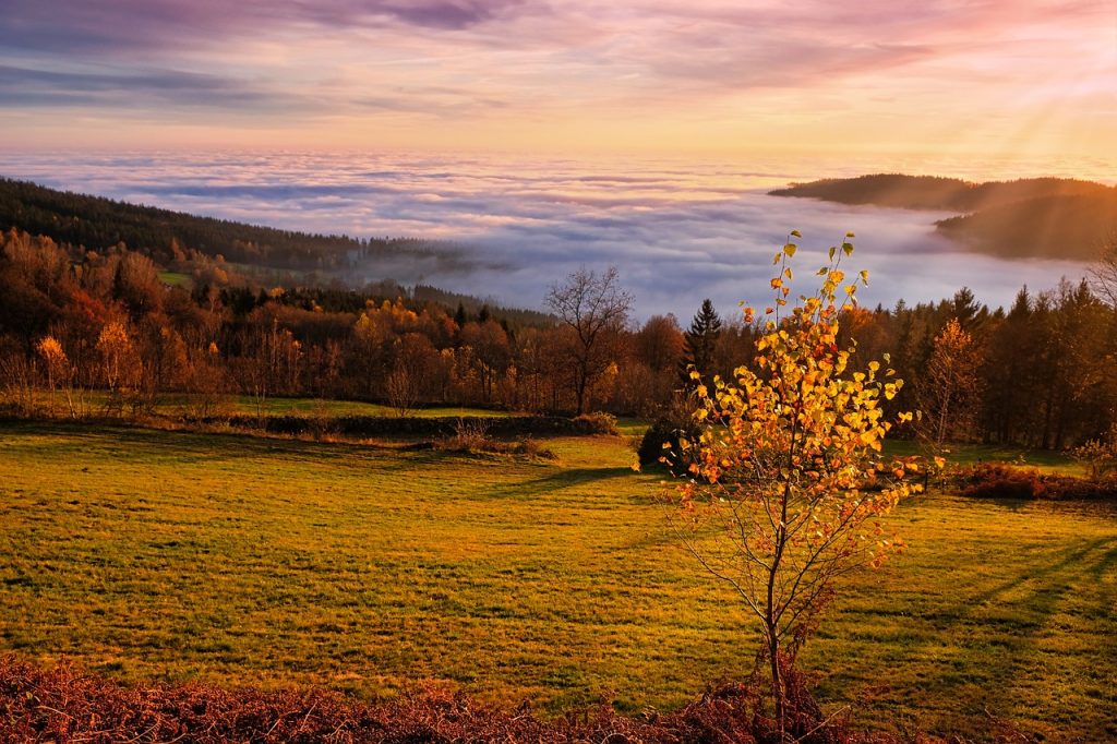
Hiking in the fall is an amazing experience, especially in Southwest Colorado! The crowds are smaller, the leaves turn beautiful colors, and the cool breeze feels refreshing. Here are 5 of the best fall hikes in Southwest Colorado,
Each hike is special in its own way, with stunning views, colorful leaves, untouched plants, and the chance to see native animals along the way. These hikes are perfect for anyone exploring Southwest Colorado this fall!
Potato Lake via Spud Lake Trail
Potato Lake (also called Spud Lake) sits under some big mountains. You’ll drive along Old Lime Creek Road, which has lots of aspen trees. At the trailhead, you’ll hike through meadows, forests, and ponds for 1.2 miles before reaching the peaceful waters of Spud Lake. Along the way, watch for wildlife like beavers, deer, and lots of birds. Bring your binoculars!
This hike is great for families, especially in fall when the aspen trees turn bright yellow. If you visit during the week, there will be fewer people. Don’t forget your camera!
- Length: 3.1 miles roundtrip
- Elevation Gain: 420 feet
- Trail Type: Out-and-Back Loop
- Difficulty: Moderate
- Dogs Allowed: Yes
How to get to Spud Lake trailhead:
Drive 28.5 miles north from Durango on Highway 550, then turn right onto Old Lime Creek Road. The trailhead is 2.8 miles down the road.
Pass Creek Trail
Pass Creek Trail is another fun hike near Durango. It’s a forest trail, and once you get to the meadow, you’ll see amazing views of the San Juan Mountains. Although you won’t see as many colorful aspens, other plants turn bright colors in the fall, like yellow Osha and reddish Columbine leaves.
There’s a pond along the way, perfect for a rest. When you reach the meadow, you’ll have 360-degree views of the mountains and can explore trails going in different directions.
- Length: 2.7 miles roundtrip
- Elevation Gain: 988 feet
- Trail Type: Out-and-Back
- Difficulty: Moderate
- Dogs Allowed: Yes
How to get to Pass Creek trailhead:
Drive 33.8 miles north from Durango on Highway 550 to Coal Bank Pass. Park just off the highway or take the next left to park closer to the trailhead.
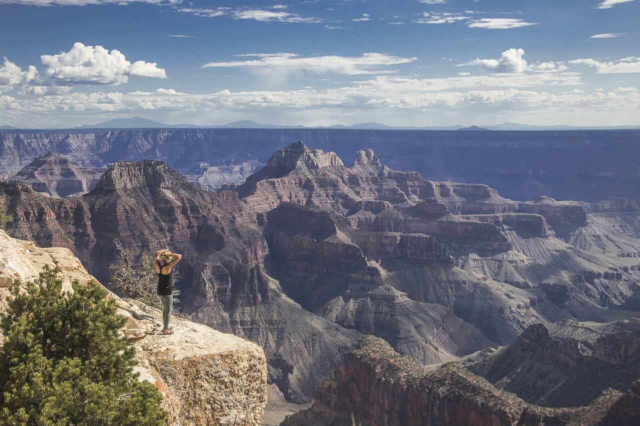
Highland Mary Lake
Highland Mary Lakes is a tough hike near Silverton, but it’s worth it! You’ll start at 10,834 feet and climb for 2.5 miles to reach the lakes. When you get to 11,800 feet, you’ll be able to see the Rocky Mountains. Along the trail, you’ll pass wildflowers like Columbine and Paintbrush, and you might hear animals like marmots and pikas.
The trail continues past the lakes, where you can complete a loop, but be sure to have a map with you.
- Length: 4.9 miles out-and-back or 7.8 miles as a loop
- Elevation Gain: 1,477 feet
- Trail Type: Out-and-Back or Loop
- Difficulty: Hard
- Dogs Allowed: Yes
How to get to Highland Mary Lakes trailhead:
Head north from Silverton, turn right at County Road 4, and follow the road to the parking lot.
Sand Dunes Loop
At the Sand Dunes Loop in Great Sand Dunes National Park, you can take off your shoes and walk through the soft sand. While this trail doesn’t have a lot of trees, you’ll see desert animals like deer, rabbits, and birds. The changing aspens in the foothills and the dunes themselves make for a beautiful sight.
This family-friendly trail is perfect for a quick hike in the fall when the weather is cooler than in the summer.
- Length: 3.6 miles roundtrip
- Elevation Gain: 301 feet
- Trail Type: Loop
- Difficulty: Easy
- Dogs Allowed: Yes
How to get to the Sand Dunes Loop:
From Alamosa, Colorado, drive west on Highway 160 for 14.4 miles, then turn left onto Highway 150 for another 19.4 miles.
Deep Creek Trail
The Deep Creek Trail near Telluride takes you through colorful aspen forests. In the fall, the trees turn bright yellow, orange, and sometimes red. This trail is a bit challenging but levels out with great spots to rest. The views are worth it!
You might see animals like elk, deer, and even bears hiding behind the aspen trees. If you like flowers, bring a book to identify different wildflowers along the way.
- Length: 10.9 miles roundtrip
- Elevation Gain: 2,831 feet
- Trail Type: Out-and-Back or Point-to-Point (with shuttle)
- Difficulty: Moderate to Hard
- Dogs Allowed: Yes
How to get to Deep Creek trailhead:
Drive west on Highway 145 and turn right on Airport Road/Last Dollar Road. The trailhead is 1 mile past the airport.
FAQ:
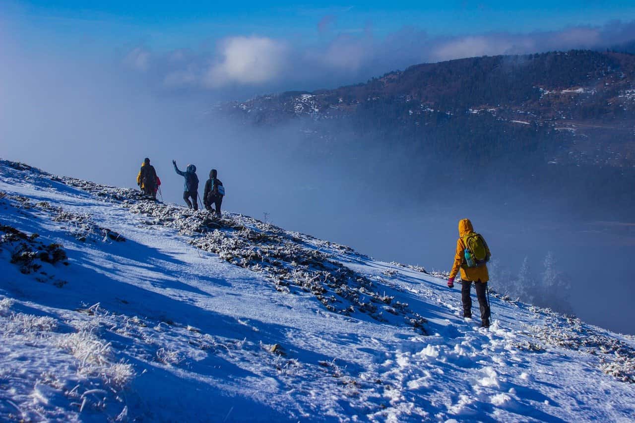
1. Can I hike in Colorado’s high-altitude areas during the fall?
Yes, but altitude can affect some hikers, especially in Colorado’s mountainous regions. Make sure to acclimate by spending a day or two at a higher elevation before attempting any strenuous hikes. Stay hydrated, pace yourself, and pay attention to signs of altitude sickness.
2. Do I need special permits to hike in Colorado during the fall?
Most day hikes do not require permits, but some specific areas, like national parks or wilderness areas, may have regulations. Check the rules for the area you plan to hike in, especially if you are camping overnight or visiting popular spots like Rocky Mountain National Park.
3. What are the best times to hike during the fall in Colorado?
Early mornings are best for hiking in the fall. Temperatures are cooler, and you’re more likely to have the trail to yourself. Afternoon storms are common in the mountains, so starting your hike early gives you plenty of time to finish before any potential weather changes.